
Tag: mineral exploration
-
First Geological Mapping Results from China-Saudi Geoscience Cooperation Released
Saudi Arabia’s Geological Survey released the first batch of 24 detailed 1:100,000-scale geological maps of the Saudi Arabian Shield on Sept. 11 during the Central Asia-West Asia Mining Investment Promotion Conference at the 2026 China International Mining Conference. Led by the China Geological Survey, the project represents a major milestone in China-Saudi geoscience cooperation and…
-
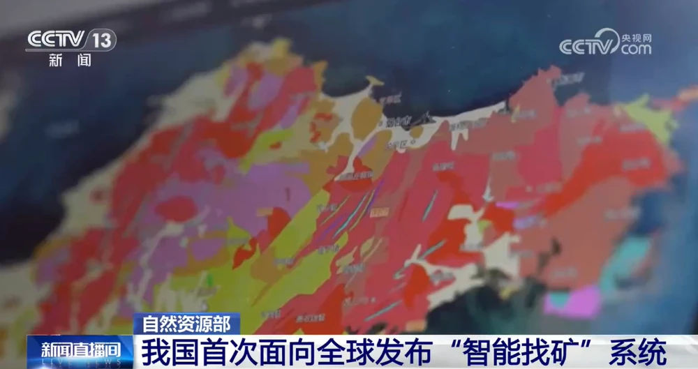
China Unveils First AI Systems for Geological Mapping and Mineral Prospecting
China’s Ministry of Natural Resources on Sept. 11 unveiled the AI-GeoMapping and AI-OreSeeking systems at the 2026 China International Mining Conference, marking the first global release of the two platforms. Developed independently by the China Geological Survey, the systems apply artificial intelligence across the full workflows of basic geological surveying and mineral exploration evaluation. The…
-
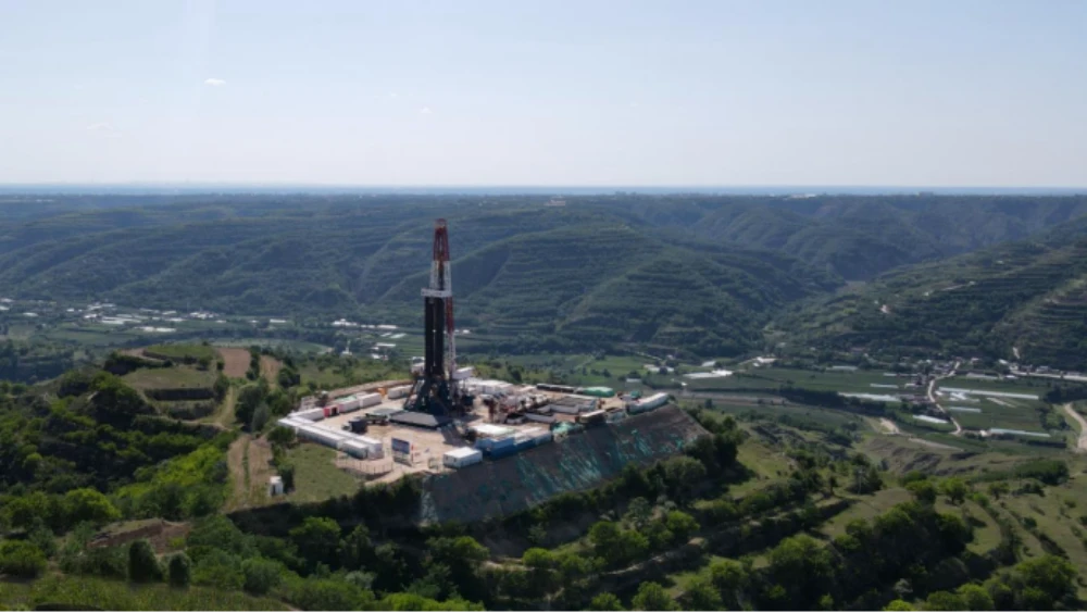
Green Mining | Six Scenarios Unlock New Paths for Green Mineral Exploration in China
In recent years, China has vigorously promoted green mineral exploration, carrying out a series of initiatives in areas including institutional guidance, equipment demonstrations and promotion, and the development of a sound standards system. In 2024, the Ministry of Natural Resources and the National Forestry and Grassland Administration issued the Notice on Fully Implementing Green Exploration…
-
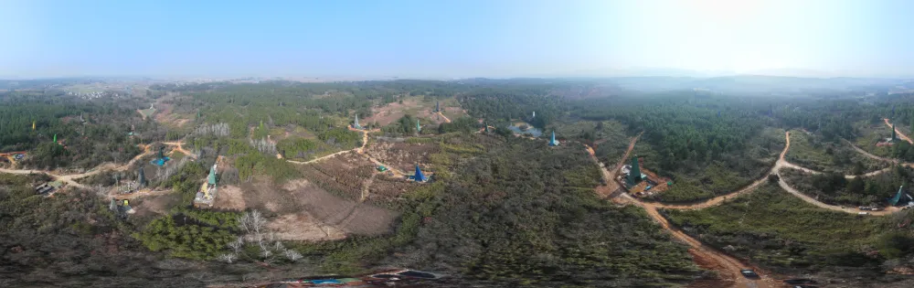
China Reports Largest Porphyry Copper-Gold Find in Middle-Lower Yangtze, Opening New Exploration Frontier
China has reported a major copper-gold exploration breakthrough in Anhui province, identifying what researchers describe as the largest porphyry copper-gold deposit yet found in the Middle-Lower Yangtze region and challenging conventional assumptions about where large porphyry systems can form. China’s Ministry of Natural Resources announced the latest exploration results on Sept. 1. The breakthrough centers…
-
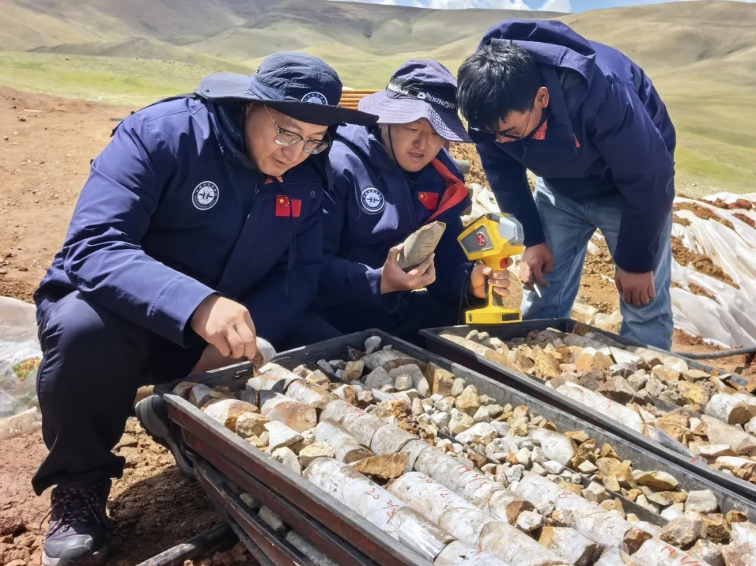
Star–Air–Ground–Borehole Exploration Technology Leads to New Breakthrough in Gangdese Mineral Prospecting
Recently, the China Aero Geophysical and Remote Sensing Center for Natural Resources’ Qinghai–Tibet Plateau airborne geophysical exploration team discovered the Changlong iron-rich tin polymetallic deposit for the first time in an unexplored area of the western Gangdese metallogenic belt. The discovery took just six months from the initial flight survey to the confirmation of mineralization,…
-
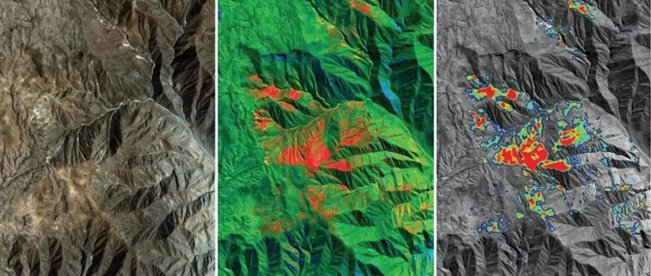
From Mineral Exploration to Disaster Monitoring: What Can Remote Sensing AI Do?
Can remote sensing AI provide professional insights and intelligent decision support for resource exploration, mine development and geological hazard monitoring? “AI cannot be discussed independently of observation,” an industry expert said when discussing intelligent remote sensing interpretation. Remote sensing AI must remain grounded in real-world operations rather than becoming a numbers game focused solely on…
-
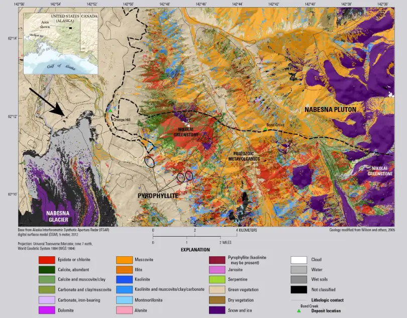
From Spectral Fingerprints to Target Prioritization: How Hyperspectral Satellites Support Mineral Exploration
According to the International Energy Agency’s Global Critical Minerals Outlook 2026, global critical mineral exploration spending fell by more than 10% in 2025. Exploration spending on lithium and nickel declined by around 45%, while spending on copper remained broadly stable. This increasingly cautious investment environment stands in contrast to the persistent long-term pressure on critical…
-
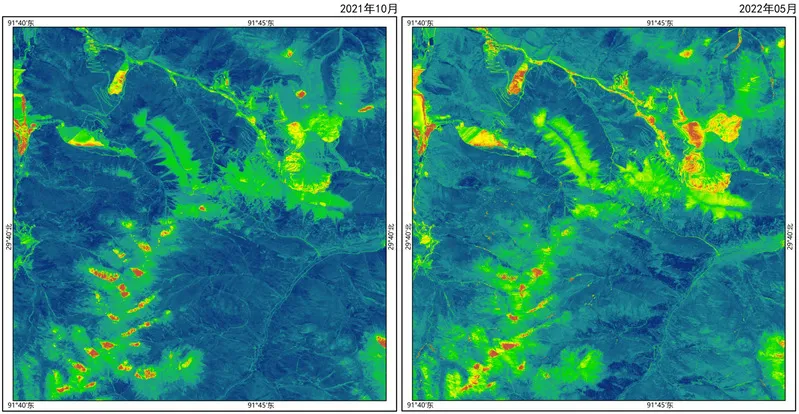
Can satellite imagery support mineral exploration?
Satellite imagery plays an increasingly important role in mineral exploration by helping geologists and exploration teams identify areas with potential mineralization before committing to costly field investigations and drilling programs. Although satellites cannot directly observe most mineral deposits beneath the Earth’s surface, they can detect geological, geochemical, and environmental indicators associated with mineral-bearing systems. One…
-
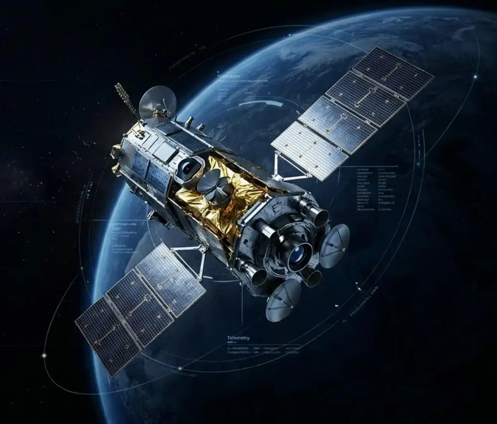
Mineral Exploration Reimagined: How Satellite Remote Sensing and AI Are Transforming Global Resource Discovery
In Canada and Australia, government-backed incentives have long been used to stimulate mineral exploration investment. Canada’s Mineral Exploration Tax Credit (METC), for example, allows investors in eligible flow-through shares to receive additional tax benefits, helping junior mineral exploration companies raise capital for early-stage exploration programs. According to the Government of Canada, the program supported more…