
Tag: SAR
-
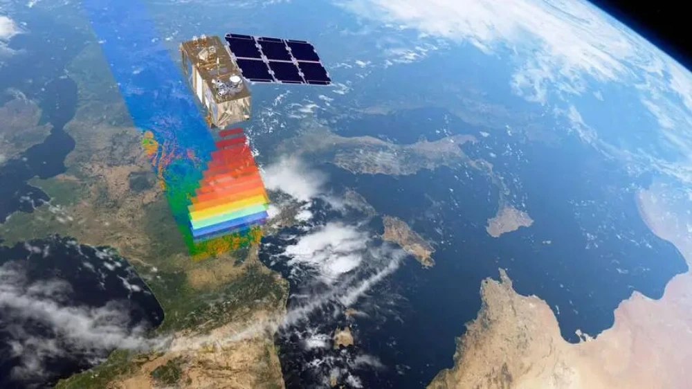
From Imaging to Intelligence: How Smart Remote-Sensing Satellites Are Changing the Market
Several smart remote-sensing satellites have recently been launched in China and other countries, entering a rapidly expanding applications market and attracting growing industry attention. But what does it mean for a remote-sensing satellite to become “smart”? What benefits could onboard intelligence provide, and how might it help satellite operators reach new markets and deliver services…
-
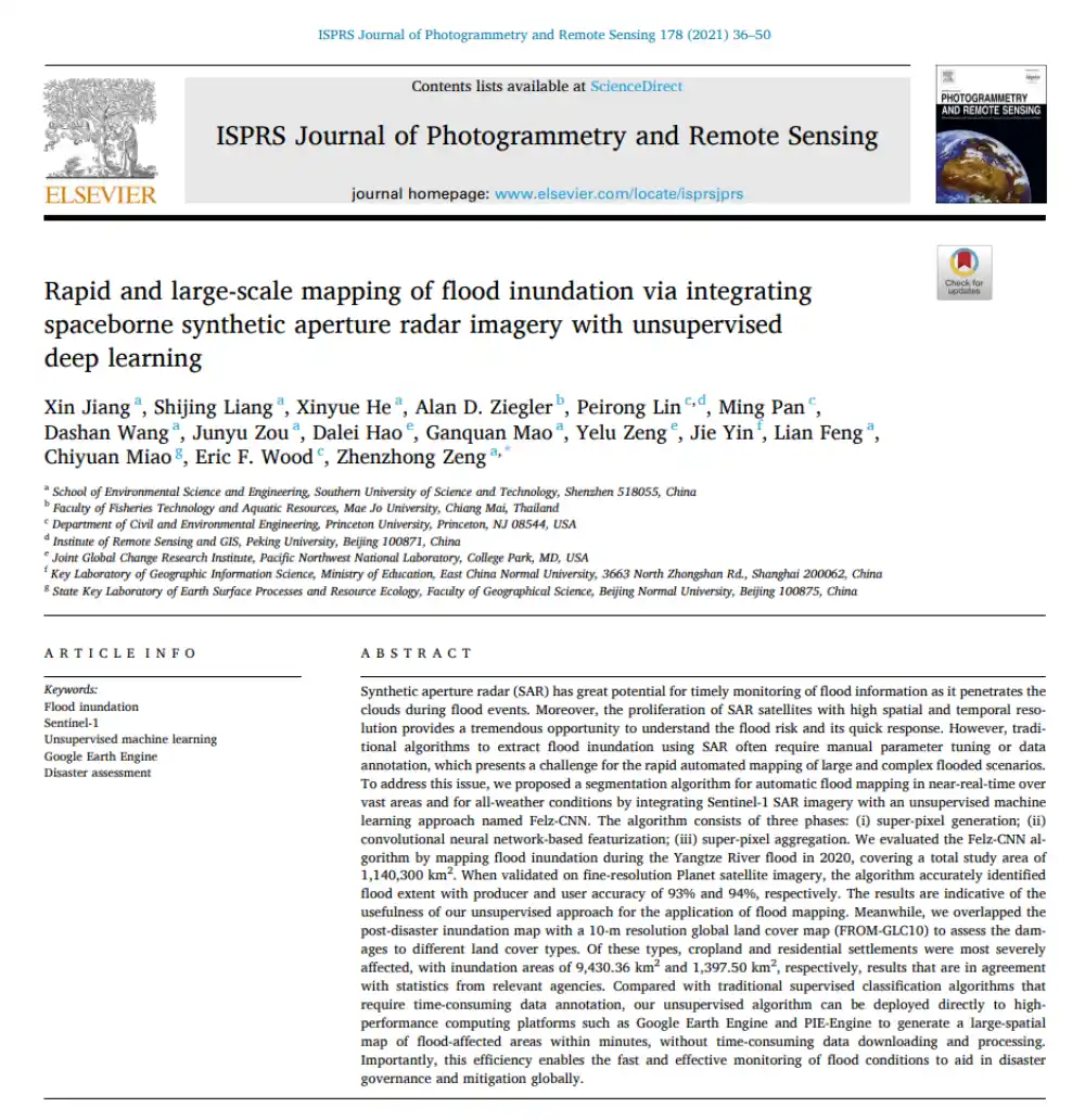
Can SAR Map Floods Without Manual Labels or Threshold Tuning?
In brief: Conventional SAR-based flood mapping often runs into two obstacles: thresholds must be adjusted repeatedly by hand, while supervised learning requires large volumes of labeled data. This paper proposes Felz-CNN, also known as the adaptive unsupervised Felz-CNN segment system (AUFCS). The method first uses Felzenszwalb superpixels to divide a SAR image into many internally…
-
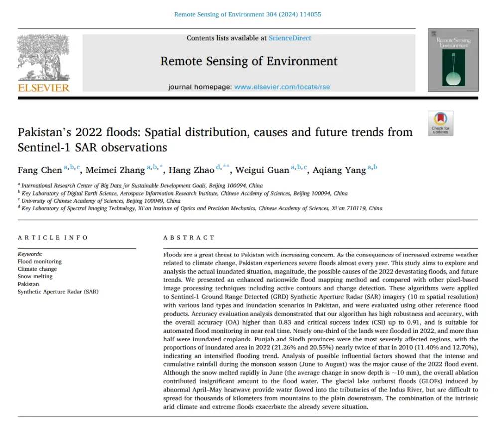
What Really Caused Pakistan’s 2022 Floods: Extreme Rainfall, Snowmelt, or Glacial Lake Outburst Floods?
In brief: Published in Remote Sensing of Environment, this study does more than use Sentinel-1 data to map Pakistan’s catastrophic 2022 floods. It seeks to answer three broader questions: How much of the country was flooded? Why was the disaster so severe? And was it worse than the major flood of 2010? The authors developed…
-
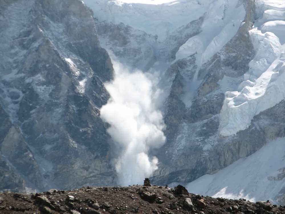
From Detecting Change to Assessing Risk: Satellite Remote Sensing for High-Mountain Hazards
On August 26, 2026, a cascading debris-flow disaster originating on the Nepal side of the China–Nepal border struck Gyirong Port in Xizang, China. Based on pre- and post-event high-resolution satellite imagery, seismic reports, and imagery transmitted from the affected area, an expert working group organized by China’s Ministry of Natural Resources preliminarily assessed that the…
-
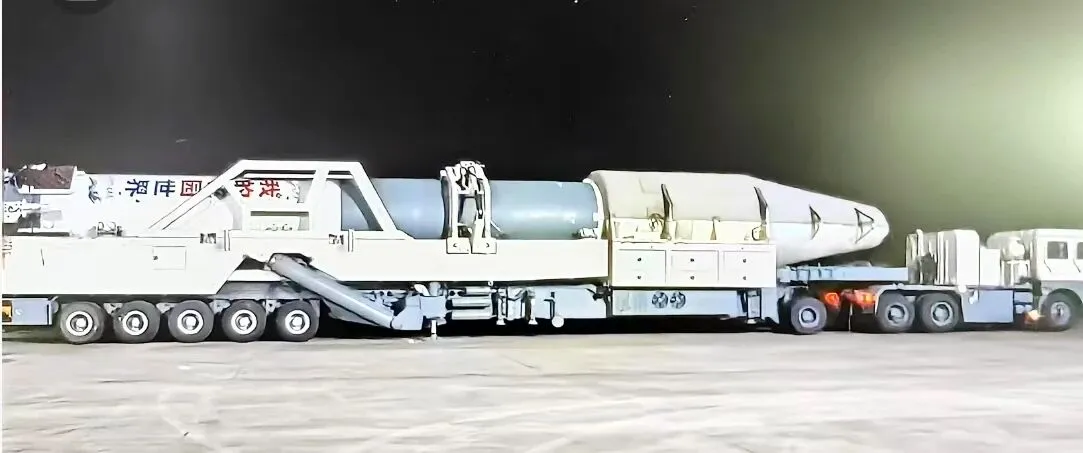
Kuaizhou-11 Y3 Passes Factory Review Ahead of Dual-Satellite Launch
Kuaizhou Aerospace recently announced that the Kuaizhou-11 Y3 carrier rocket has completed all assembly and testing work at its Wuhan base and successfully passed its factory quality review. The rocket will soon be transported to the Jiuquan Satellite Launch Center for a dual-satellite mission carrying Tianyi-51 and Tianyi-52 into orbit. The official launch window has…
-

Mianyang, Sichuan Uses SAR Satellites to Monitor Ground Deformation and Identify Urban Building Safety Risks
Satellite remote sensing is moving beyond specialized surveying and scientific research into practical applications such as urban governance, agriculture, resource management and infrastructure monitoring. This shift is particularly visible in China. In 2025, China launched more than 120 remote-sensing satellites, while its civilian remote-sensing satellite fleet in orbit exceeded 640, maintaining the country’s position as…
-
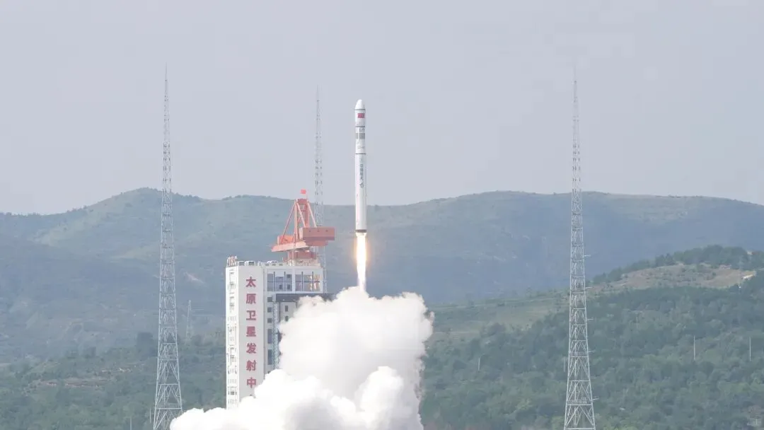
China Launches Seven Satellites on One Rocket, Including Thai CubeSat
At 11:21 a.m. Beijing Time on August 25, a Long March 6C carrier rocket lifted off from the Taiyuan Satellite Launch Center, successfully placing seven satellites into their designated orbits. The payloads included AIRSAT-14, AIRSAT-15, GISTDA CubeSat 1, Muduo-1A, Muduo-1B, Jing’an Dream Satellite and Bayi-04. The launch marked the 665th flight of China’s Long March…
-
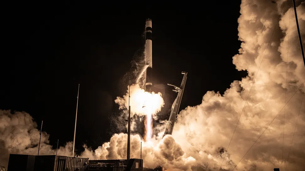
Rocket Lab Targets Ninth iQPS Mission as Japanese SAR Constellation Accelerates Toward Near-Real-Time Earth Observation
Rocket Lab is preparing to launch another Japanese synthetic aperture radar satellite on Aug. 20, adding a new spacecraft to one of the fastest-growing commercial Earth-observation constellations in Asia. The mission, named “The Lightning God Defends,” is scheduled to lift off aboard a Rocket Lab Electron from Launch Complex 1 on New Zealand’s Māhia Peninsula,…
-
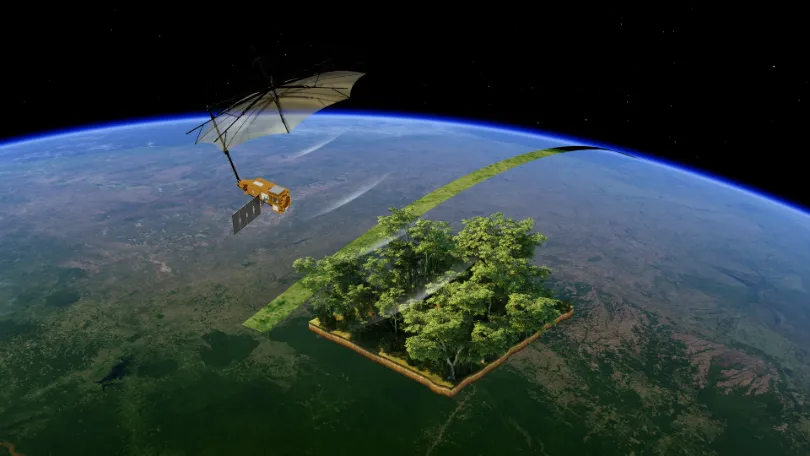
From Carbon Emissions to Carbon Sinks: How Satellites Support Carbon Monitoring
As the world continues to pursue net-zero targets, carbon data is becoming an increasingly important foundation for climate governance, corporate emissions reduction, and ecosystem management. Countries need to quantify and assess greenhouse gas emissions more accurately. Companies need an ongoing understanding of emissions changes across their operations and associated facilities. Carbon markets and carbon projects…
-
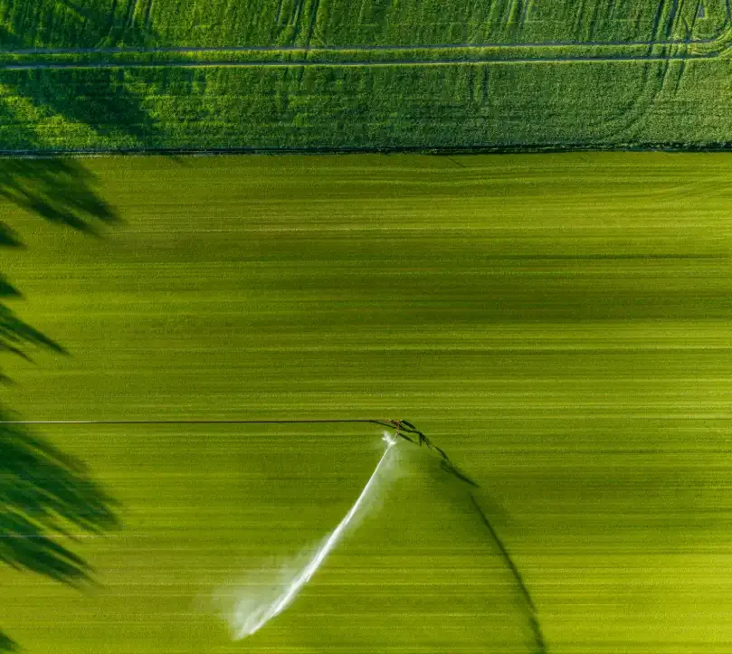
From Crop Health to Irrigation Management: How Satellite Remote Sensing Can Help Agriculture Respond to Growing Water Pressure
In the summer of 2026, drought across Europe and the developing El Niño once again drew attention to risks affecting agricultural production and food security. On August 13, the Associated Press reported that persistent heat and drought were affecting agricultural production across Europe, putting crops ranging from potatoes in the Netherlands and maize in Bosnia…