
Tag: SAR
-
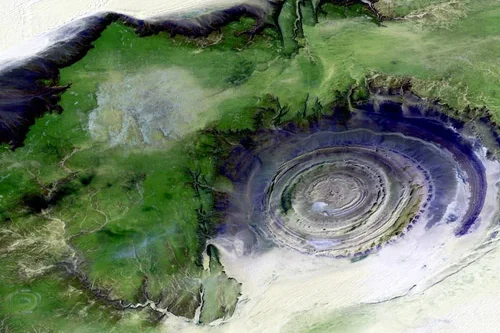
What role does satellite data play in exploration activities?
Satellite data plays a significant role in oil and gas exploration by providing valuable geological, environmental, and geographic information that supports the identification and evaluation of potential resource opportunities. While satellites cannot directly image underground hydrocarbon reservoirs, they can detect surface indicators and regional characteristics that help exploration teams better understand subsurface conditions and prioritize…
-
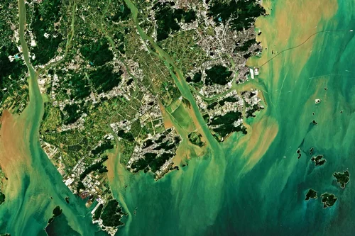
How can satellites monitor oil and gas pipelines?
Satellite technology has become an increasingly important component of pipeline monitoring programs across the oil and gas industry. With thousands of kilometers of pipelines often crossing remote deserts, forests, mountains, wetlands, and offshore environments, maintaining continuous visibility over critical infrastructure can be challenging using traditional inspection methods alone. Satellite monitoring provides a scalable and cost-effective…
-
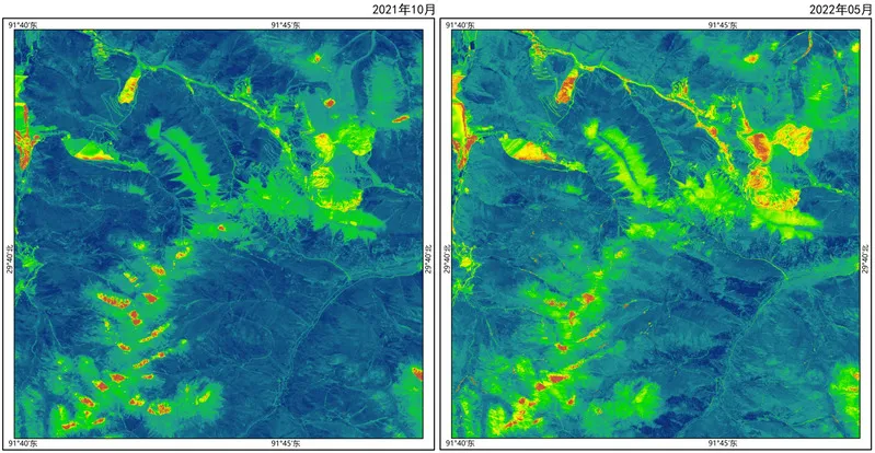
Can satellite imagery support mineral exploration?
Satellite imagery plays an increasingly important role in mineral exploration by helping geologists and exploration teams identify areas with potential mineralization before committing to costly field investigations and drilling programs. Although satellites cannot directly observe most mineral deposits beneath the Earth’s surface, they can detect geological, geochemical, and environmental indicators associated with mineral-bearing systems. One…
-
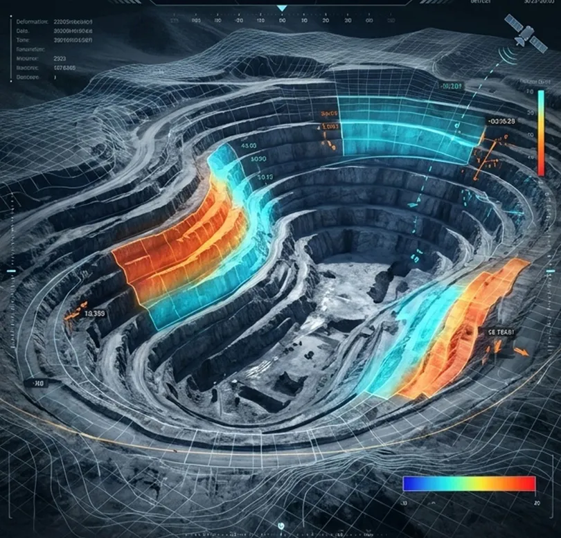
How is satellite data used in mining site monitoring?
Satellite data has become an essential tool for mining site monitoring, providing continuous visibility into mining operations across exploration, development, production, and closure phases. By delivering objective and repeatable observations over large geographic areas, Earth observation technologies enable mining companies, regulators, investors, and environmental organizations to monitor activities efficiently while reducing the need for frequent…
-
Agnikul Cosmos Signs MoU with ICEYE for India SAR Launch
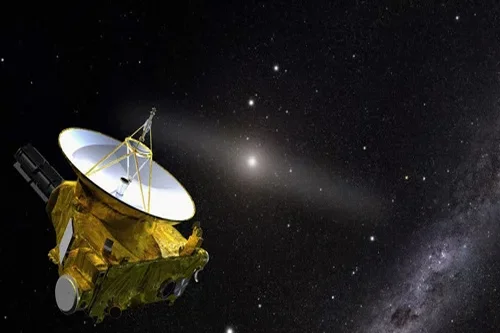
Does Agnikul Cosmos’s ICEYE Partnership Signal India’s Serious Push Into SAR Intelligence? Indian launch startup Agnikul Cosmos has signed a Memorandum of Understanding with ICEYE, the Finnish-founded global Synthetic Aperture Radar (SAR) satellite manufacturer, to launch and operate SAR satellites from India. The two companies announced the deal at the Bharat Innovates summit in Nice,…
-
China Launches 34-Member VLEO Alliance With 2 Satellites Below 300km
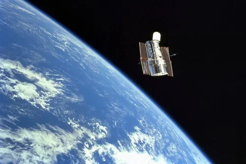
Is China Building a VLEO Constellation Program? China now has two satellites sustaining orbits below 300 kilometers simultaneously — and on June 27, 2026, formalized the industrial ecosystem behind that capability by launching a national Very Low Earth Orbit Technology Innovation and Industry Development Alliance, co-founded by 34 organizations, at a conference in Shenzhen attended…
-
What is the difference between optical and SAR satellite imagery?
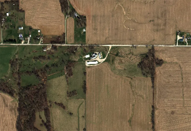
Optical and Synthetic Aperture Radar (SAR) imagery are two of the most widely used forms of satellite data, but they differ significantly in how information is collected and the types of insights they provide. Optical imagery functions in a manner similar to traditional photography. Optical sensors capture reflected sunlight from the Earth’s surface across visible…
-
Rocket Lab Completes Tenth Dedicated Synspective Launch
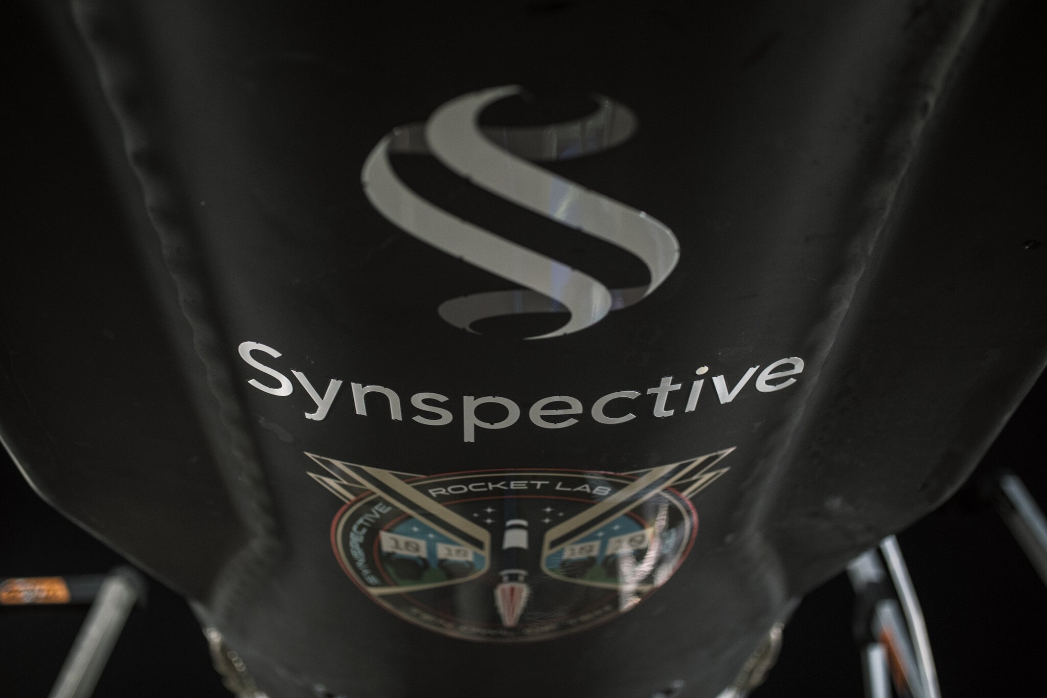
Rocket Lab has successfully launched another satellite for Japanese Earth observation company Synspective, completing the tenth dedicated Electron mission for the customer with a 100% mission success record. The mission, named “Ten Owl Of Ten,” lifted off aboard an Electron rocket from Launch Complex 1 in New Zealand at 5:43 a.m. NZST on 27 June…
-
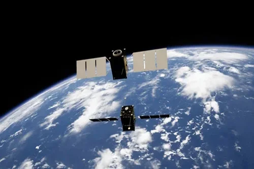
Capella Space Validates First Optical Communications Terminal on Acadia-10 Satellite
Capella Space has successfully validated its first optical communications terminal (OCT) aboard the Acadia-10 synthetic aperture radar (SAR) satellite, marking the company’s first deployment of laser communications technology in orbit. The milestone follows the launch of Acadia-10 in March and coincides with the release of the satellite’s first SAR imagery. Faster Data Transmission Capella said…
-
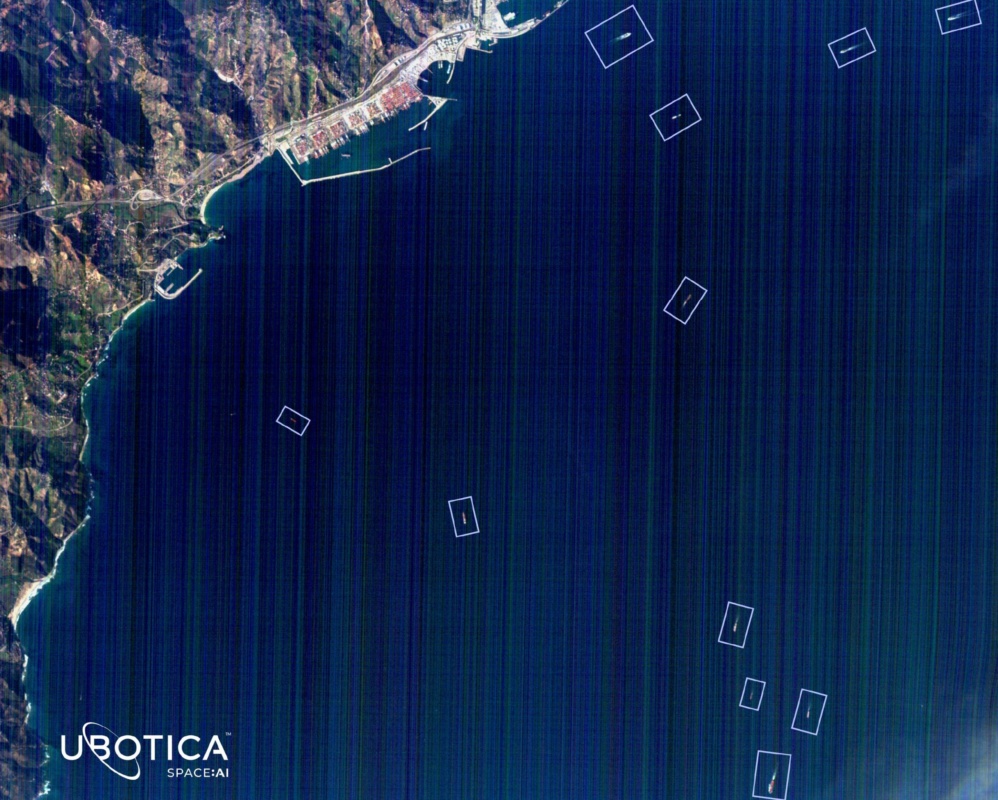
Ubotica Technologies Raises $11 Million to Expand AI-Powered Maritime Intelligence Platform
Ubotica Technologies has raised $11 million in new funding to accelerate the commercialization of its artificial intelligence platform for maritime intelligence and security applications. The Dublin-based space technology company said the funding round was co-led by Act Venture Capital and Greencode Ventures, with participation from Atlantic Bridge, an existing investor. The latest investment will support…