
Tag: Satellite Imagery
-
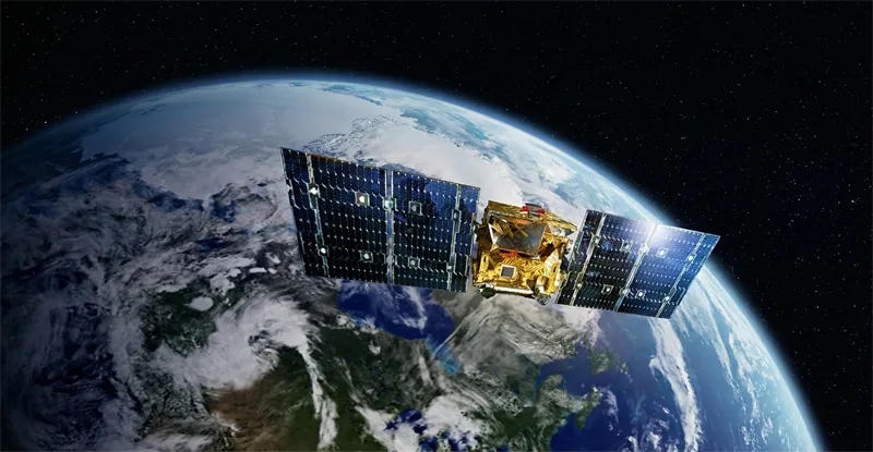
Can satellite imagery help with yield prediction?
Satellite imagery has become an increasingly important component of agricultural yield prediction, enabling organizations to estimate crop production before harvest and gain earlier visibility into potential agricultural outcomes. By combining Earth observation data with agronomic models, weather information, and historical records, analysts can develop more accurate forecasts at field, regional, national, and global scales. Yield…
-
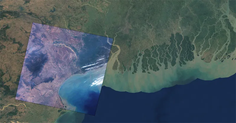
In which formats can satellite imagery be delivered?
Satellite imagery can be delivered in a variety of formats designed to support different analytical workflows, software platforms, and enterprise data environments. The choice of format depends on how the imagery will be stored, processed, visualized, or integrated into operational systems. One of the most widely used formats is GeoTIFF. GeoTIFF combines raster imagery with…
-
How often is satellite imagery updated or revisited?
The frequency with which satellite imagery is updated depends on several factors, including satellite orbit design, constellation size, geographic location, sensor type, and imaging priorities. This frequency is commonly referred to as revisit rate or revisit cycle and represents how often a satellite can observe the same location on Earth. Historically, individual satellites could revisit…
-
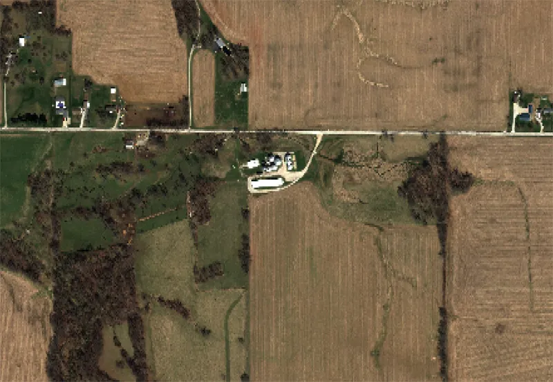
What is the difference between optical and SAR satellite imagery?
Optical and Synthetic Aperture Radar (SAR) imagery are two of the most widely used forms of satellite data, but they differ significantly in how information is collected and the types of insights they provide. Optical imagery functions in a manner similar to traditional photography. Optical sensors capture reflected sunlight from the Earth’s surface across visible…
-
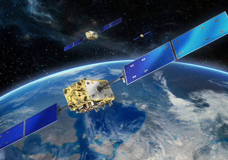
What resolution options are available for satellite imagery?
Satellite imagery is available in a wide range of spatial resolutions, allowing organizations to select data products that best match their operational, analytical, and budgetary requirements. Spatial resolution refers to the size of the ground area represented by a single pixel in an image. In general, higher-resolution imagery provides more detail but may involve larger…
-
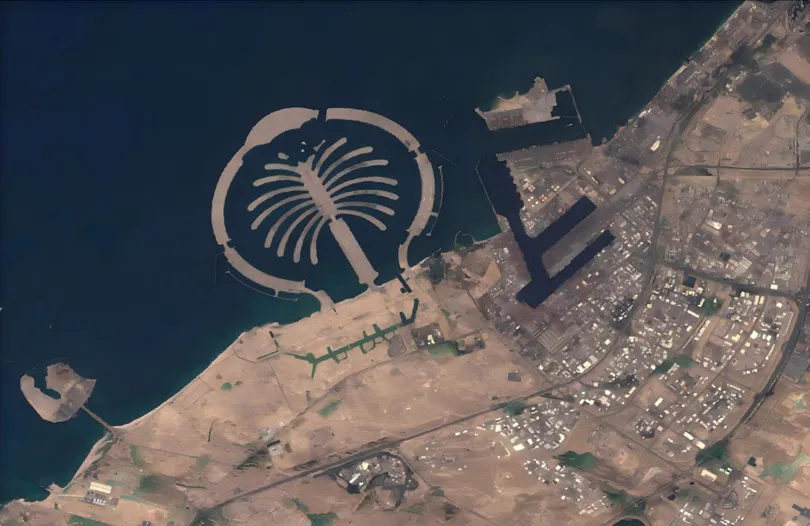
When the Desert Flooded: Satellite Imagery and the Future of Agricultural Flood Insurance
The April 2024 UAE floods stress-tested every traditional risk assessment model. STARPATH GLOBAL satellite imagery shows how Earth observation is transforming how agricultural insurers detect, verify, and price catastrophic flood events. Published: April 2024 · Region: United Arab Emirates · Data: STARPATH GLOBAL · USGS Event Background A once-in-75-year rainfall event On April 16, 2024,…
-

Planet Labs Secures Expanded NGA Contract for AI-Enabled Maritime Intelligence Services
Planet Labs has received a $22 million contract option from the U.S. National Geospatial-Intelligence Agency (NGA) to continue providing artificial intelligence-enabled geospatial analytics for military and government users. The award expands work that began under a $13 million contract issued last year through the NGA’s Luno B program, which uses unclassified commercial imagery and analytics…
-
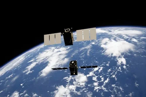
BlackSky CEO Details AI Strategy for Earth Observation Market
How is BlackSky integrating AI into satellite imagery analysis? BlackSky Technology CEO Lyn Chassagne outlined the company’s AI-driven approach to Earth observation during a recent SpaceNews interview, emphasizing how artificial intelligence is transforming raw satellite data into actionable intelligence for government and commercial customers. The Seattle-based company operates a satellite constellation of high-resolution imaging satellites…
-
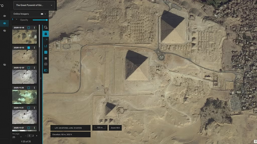
Vantor Secures $70 Million NGA Contract to Deliver GEOINT Platform
Vantor said on Monday it has received a $70 million award from the National Geospatial-Intelligence Agency (NGA) for the first option year of a programme providing access to a database of unclassified satellite and sensor-derived imagery. The award falls under NGA’s Global Enhanced GEOINT Delivery (G-EGD) programme, which the company—formerly known as Maxar—has managed for…
-
GEOINT 2026 Draws 4000+ for AI-Driven Earth Intelligence Push
How is AI reshaping geospatial intelligence at scale? The 2026 GEOINT Symposium in Aurora, Colorado is drawing more than 4,000 analysts, engineers, mission commanders, and policy leaders focused on three critical imperatives: artificial intelligence integration, massive data processing capabilities, and operational scale requirements that now define modern geospatial intelligence. This year’s gathering represents a pivotal…