
Tag: Satellite Imagery
-
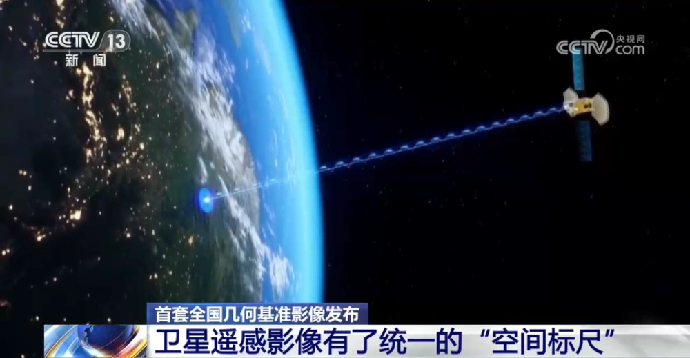
China Releases First Nationwide Geometric Reference Imagery, Creating a Common Spatial Standard for Satellite Data and Cutting Processing Costs
China’s Ministry of Natural Resources has released the country’s first set of geometric reference imagery covering its entire land territory, establishing a common spatial reference for the production and geometric correction of satellite remote-sensing imagery. Announced in late August, the dataset has a spatial resolution better than 0.5 meters and is intended to address a…
-
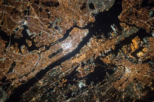
Mianyang, Sichuan Uses SAR Satellites to Monitor Ground Deformation and Identify Urban Building Safety Risks
Satellite remote sensing is moving beyond specialized surveying and scientific research into practical applications such as urban governance, agriculture, resource management and infrastructure monitoring. This shift is particularly visible in China. In 2025, China launched more than 120 remote-sensing satellites, while its civilian remote-sensing satellite fleet in orbit exceeded 640, maintaining the country’s position as…
-
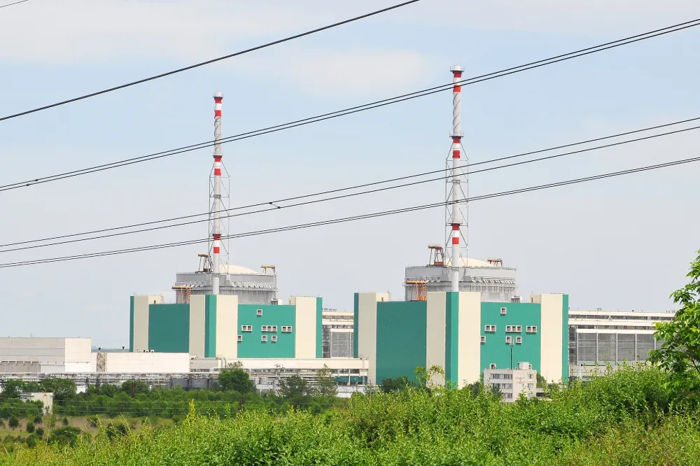
Danube Drought Cuts Nuclear Output: How Satellites Support Water–Energy Risk Monitoring
On 20 August 2026, Bulgaria’s Ministry of Energy and Kozloduy Nuclear Power Plant announced that Unit 5 would be reduced by approximately 120 MW on 21 August as a preventive measure in response to the Danube’s continuing decline to critically low levels. The reduction was equivalent to roughly 12% of the unit’s approximately 1,000 MW…
-
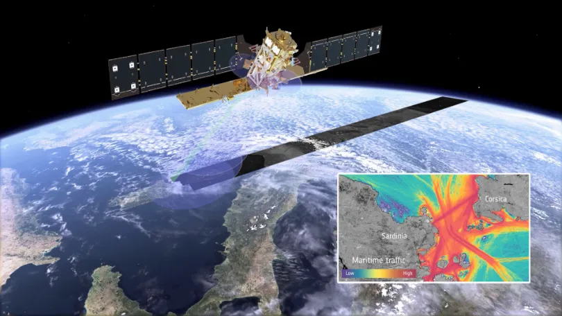
When Vessels “Disappear” from the Map: How Multi-Source Satellite Data Can Help Detect Maritime Smuggling
In May 2026, conventional vessel-tracking maps showed major information gaps around the Strait of Hormuz. The gaps did not necessarily mean that the vessels had left the area. According to Windward, dark-vessel activity in and around the Strait increased by nearly 600% between April 19 and May 3. On May 5, its multi-source analysis identified…
-
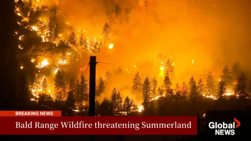
The Bald Range Wildfire Exploded in Size Within Hours: How Satellite Data Can Close the Speed Gap Between Disaster and Decision-Making
The Bald Range wildfire in British Columbia’s Southern Interior was first reported on the evening of August 7, 2026. According to local emergency officials, it grew to approximately 50 square kilometres within about three hours. By the afternoon of August 8, it had burned more than 100 square kilometres and advanced roughly 15 kilometres toward…
-
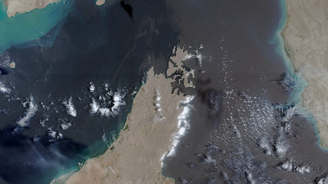
European Union grants US request to restrict satellite images of Iran War region
The European Union has begun delaying the release of satellite images showing shipping lanes near the Strait of Hormuz by 24 hours. The move comes in response to an earlier US government request and coincides with the Trump administration ramping up the war with Iran once again. The unusual change in the free and open…
-
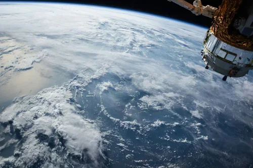
Can satellite imagery support disaster damage evaluation?
Yes, satellite imagery plays a critical role in disaster damage evaluation by providing rapid, large-scale visibility into affected areas following natural catastrophes and other major events. Insurance companies, reinsurers, government agencies, emergency response organizations, and loss adjusters increasingly rely on Earth observation data to assess impacts, estimate losses, and prioritize response activities when timely information…
-
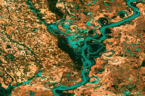
Can satellite imagery track pollution and environmental change?
Yes, satellite imagery plays a vital role in tracking pollution and environmental change across terrestrial, freshwater, coastal, marine, and atmospheric environments. Earth observation systems provide large-scale visibility into environmental conditions, enabling organizations to monitor trends, identify emerging issues, and assess the impacts of human activities and natural processes over time. One of the major strengths…
-

Can satellite imagery detect subsidence or ground movement?
Yes, satellite imagery is one of the most effective technologies available for detecting and monitoring subsidence, ground movement, and surface deformation across large geographic areas. Advances in radar-based Earth observation have made it possible to measure subtle changes in ground elevation with remarkable precision, providing valuable information for oil and gas operators, infrastructure managers, regulators,…
-
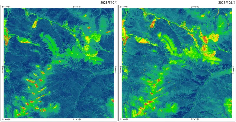
Can satellite imagery support mineral exploration?
Satellite imagery plays an increasingly important role in mineral exploration by helping geologists and exploration teams identify areas with potential mineralization before committing to costly field investigations and drilling programs. Although satellites cannot directly observe most mineral deposits beneath the Earth’s surface, they can detect geological, geochemical, and environmental indicators associated with mineral-bearing systems. One…