
Tag: Wildfire
-
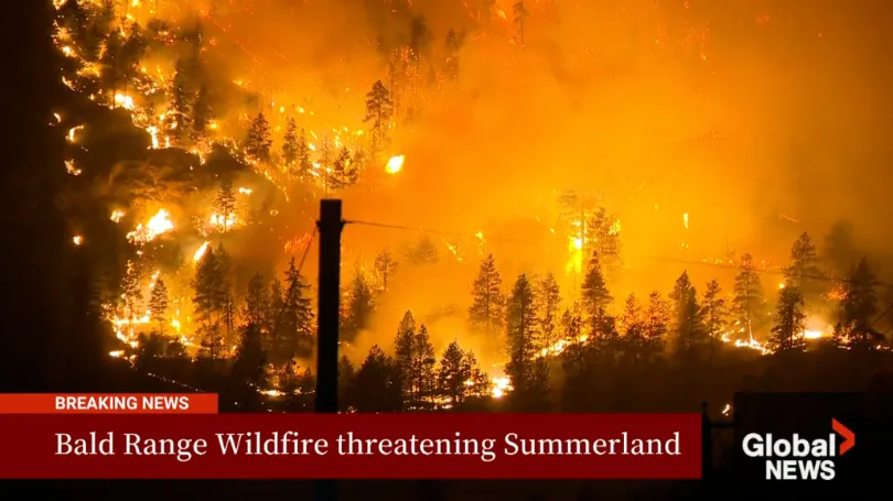
The Bald Range Wildfire Exploded in Size Within Hours: How Satellite Data Can Close the Speed Gap Between Disaster and Decision-Making
The Bald Range wildfire in British Columbia’s Southern Interior was first reported on the evening of August 7, 2026. According to local emergency officials, it grew to approximately 50 square kilometres within about three hours. By the afternoon of August 8, it had burned more than 100 square kilometres and advanced roughly 15 kilometres toward…
-
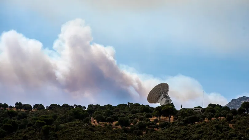
Wildfire forces evacuation of NASA’s Deep Space Network complex in Spain
A fast-moving wildfire, one of many raging across Spain, bore down on the Madrid Deep Space Communications Complex on Friday, forcing an evacuation and temporarily suspending operations at one of NASA’s most important tracking stations. The tracking station is part of NASA’s Deep Space Network, operating in concert with similar facilities in California and Australia…
-
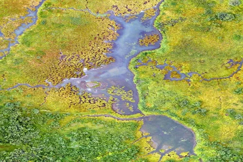
What environmental indicators can be derived from satellite analytics?
Satellite analytics can generate a wide range of environmental indicators that help organizations understand ecosystem conditions, monitor environmental change, assess sustainability performance, and support informed decision-making. By transforming raw Earth observation data into measurable environmental metrics, satellite analytics provides scalable and objective insights across diverse landscapes and environmental systems. Vegetation indicators are among the most…
-
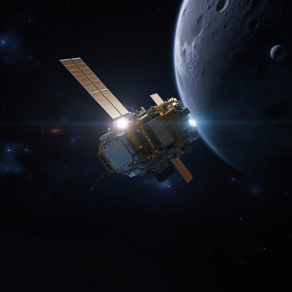
What Is Disaster Recovery as a Service (DRaaS) in the Space Industry?
As climate-related disasters, infrastructure disruptions, and operational risks become more frequent worldwide, organizations are increasingly seeking faster ways to restore services and recover critical capabilities. One concept gaining attention is Disaster Recovery as a Service (DRaaS), traditionally used in the cloud and IT sector to describe the recovery of digital systems and workloads after disruption.…
-
Destructive Canadian wildfire sighted from space
These wide view before and after images from DigitalGlobe’s commercial WorldView 2 Earth observation satellite show the area around Fort McMurray, Alberta, before and after the wildfire. The left image was taken May 29, 2015, and the right image is from May 6, 2016. In these false-color near-infrared images, the bright red areas represent healthy…